
Wanderung
WesterwaldSteig - 2nd route from campsite to campsite
Route profile
Notice
In the tour planner we inform you under the tab "Current info" about temporary route changes, closures and detours.
To the Tour Planer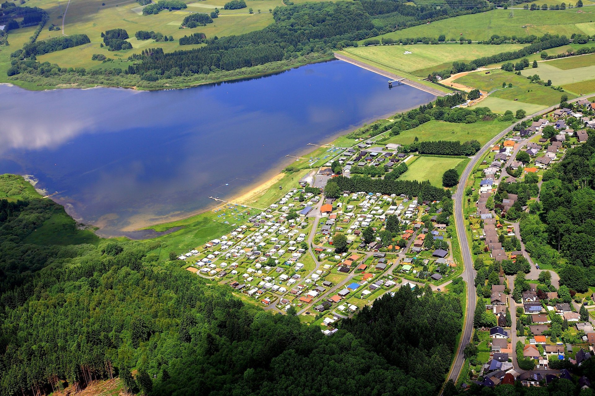
Description
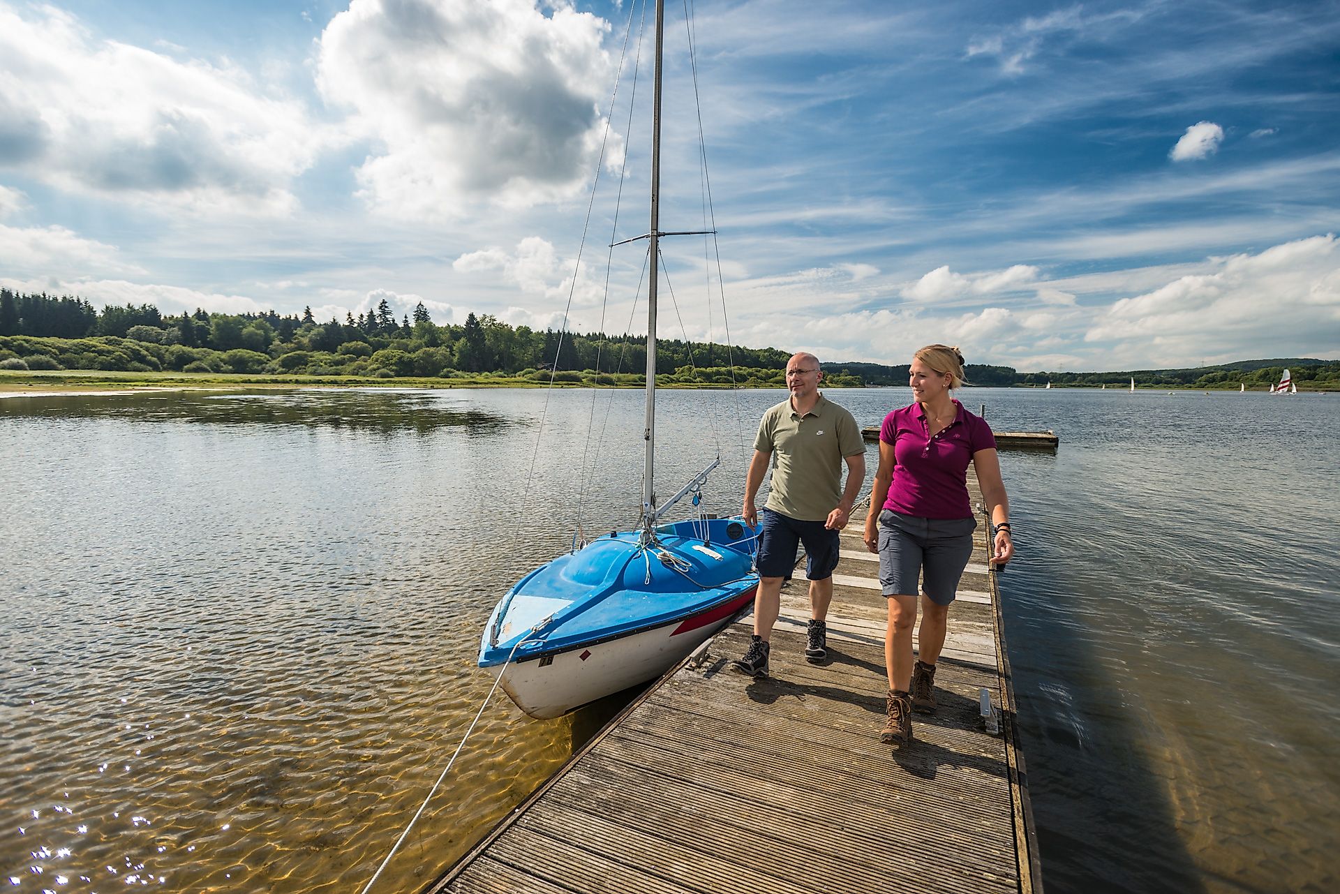
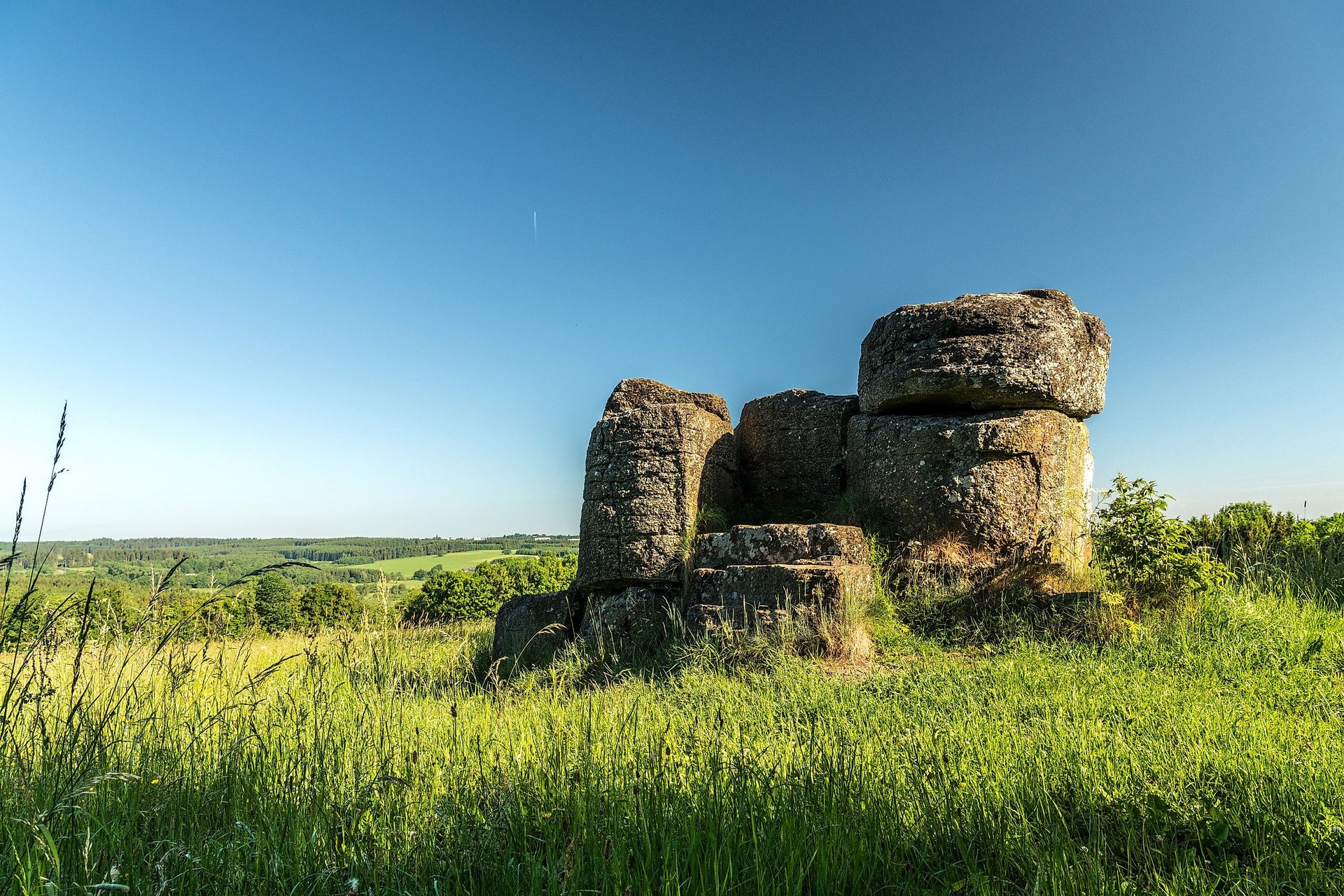
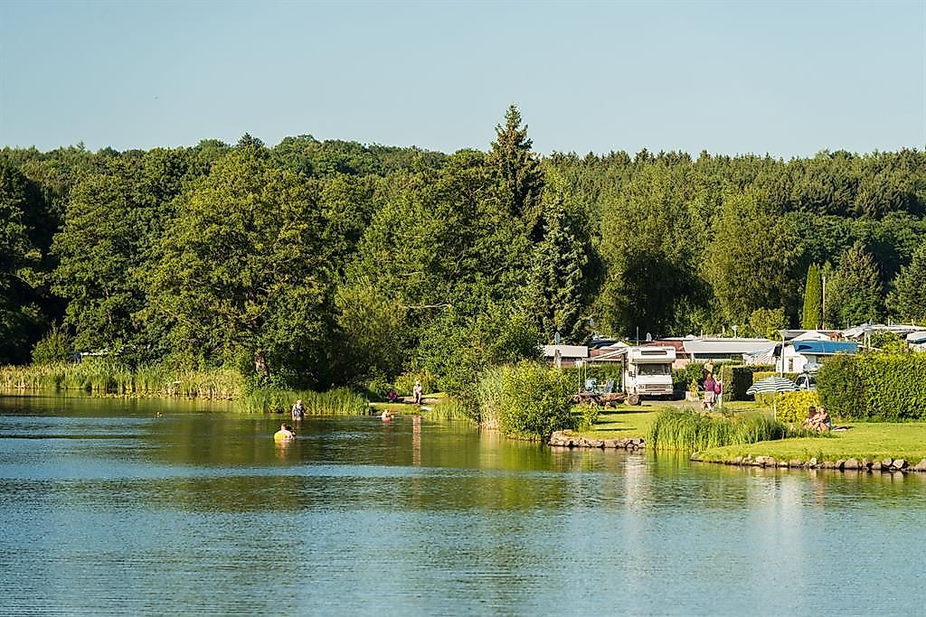
The WesterwaldSteig takes me from Welters Camping and Leisure Paradise at the Krombachtalsperre to Seck. Along the moderately difficult route, I experience historic places. For example, the Hexenbaum, which recalls the cruel times of witch hunts in the 16th and 17th centuries, or the Butterweck, a rounded rock that really resembles a round bun. It stands in the geographic center of the former Federal Republic before reunification. I take a break at the Drei-Kaiser-Eichen parking area before continuing the last section of my route to Camping Park Weiherhof at the Great Secker Weiher.
Approach
Coming from the north or east: A45 to exit 26-Herborn-West and from there take B255 towards Rennerod/Bad Marienberg/Driedorf
Coming from the south: A3 to exit Montabaur and from there take B255 towards Rennerod/Siegen
Coming from the west: Change from the A560 to B8 and shortly before Altenkirchen onto B256 towards Gummersbach/Herborn/Siegen/Hachenburg/Bad Marienberg and continue on B414. Take the first exit towards Rennerod (B255) at the roundabout behind the Fuchskaute
Public transport
From Herborn station by bus line 520 to Rehe and from there about 30 minutes on foot to the campsite
Parking
Welter’s Camping and Leisure Paradise, Campsite 1, 56479 Rehe
Directions
I start from Welters Camping and Leisure Paradise and follow the WesterwaldSteig first on a path, then on a gravel and finally on a natural trail about five kilometers initially slightly uphill and after about one kilometer gently downhill. Along the way, I pass the military area, cross the B54 shortly before the Alsberg barracks, and follow a path to the paved road Am Löhnchen. After 200 meters, I have to decide whether to go directly to the town center or follow the WesterwaldSteig to Hexenbaum, Butterweck, and the Three Emperor Oaks. I choose the latter and visit the center later.
After about 800 meters around Rennerod on the right, I reach the Gerhard sawmill and continue sharply left on the WesterwaldSteig. I cross the B255 and follow the outline of the town for about 1.5 kilometers to Friedhofsweg. Here I leave my path and take a look into the town center. At the Tourist Information Hoher Westerwald on Westeroher Street, I equip myself with brochures and maps for future routes. I return to the WesterwaldSteig and follow it for 1.7 kilometers to the natural monument Seitenstein, a 20-meter-high basalt formation in the middle of the forest. I hike about 500 meters gently downhill and then turn right. After about 2.6 kilometers, I discover the Secker Weiher and a small hunting lodge. After the first pond of ten hectares, I turn left and enjoy the lake view in the restaurant of Camping Park Weiherhof.
Safety instructions
- Wear sturdy footwear as well as weather-appropriate, practical clothing to protect you from cold and wet or heat and sun.
- Take enough fluids with you. There are not refreshment options everywhere.
- Please wear hiking shoes appropriate for the path, which provide sufficient support even on slippery and steep or rocky and uneven paths.
- If you think certain sections of the route are not passable for you, you should avoid them. Especially in adverse weather conditions, natural paths can become muddy and slippery.
- Especially in autumn, pay attention that fallen leaves on the ground can hide unevenness, roots, stones, or holes in the path. You should expect such path impairments when hiking.
- Although the path is very well marked throughout, for safety reasons, you should always carry a suitable hiking map.
Equipment
Hiking shoes and weather-appropriate clothing recommended
Additional information
Tourist Information Hoher Westerwald
Tel. +49 (0)2664 / 993 90 93
touristinfo@rennerod.rlp.de
www.hoher-westerwald-info.de
Westerwald Tourist Service
Tel. +49 (0)2602 / 3001-0
mail@westerwald.info
www.westerwaldsteig.de
Literature
Leporello hiking map WesterwaldSteig at a scale of 1:25,000 (order at
Destination
Camping Park Weiherhof
Starting Point
Welters Camping and Leisure Paradise, Krombachtalsperre
More information & GPX download
Notice
In the tour planner we inform you under the tab "Current info" about temporary route changes, closures and detours.
To the Tour Planer