
Wanderung
WesterwaldSteig 16th stage Waldbreitbach - Bad Hönningen/Rheinbrohl (East-West)
Route profile
Notice
In the tour planner we inform you under the tab "Current info" about temporary route changes, closures and detours.
To the Tour Planer

Description
WHERE THE FRANCISCANS PRAY, ROMANS TRADED WITH GERMANS, AND THE MILD SOUTH IS WITHIN REACH
Waldbreitbach's most beautiful sides lie close to the water. Whoever wants can rent a boat and discover in this way the two historic mills, which together with the old forge and the cross chapel directly on the shore represent historic gems. A little downstream, the two Franciscan monasteries already tower into the sky. They are landmarks of the Wied valley and lead you through blooming monastery gardens. Slowly you climb up to Malberg. From now on your path leads steadily downhill towards the Rhine. But before that, the places of former Limes towers tell about the life of Roman legionnaires in the Germanic borderland. You hike along the UNESCO World Heritage Site and reach your destination over the gentle Rhine heights. In Rheinbrohl, you immerse yourself in the RömerWelt, which as an experience center vividly illustrates the small border trade between Romans and Germans.
Approach
A3 to exit 35 Neustadt (Wied) and continue via L270 towards Asbach/Neustadt/Obersteinebach/Niedersteinebach/Hümmerich/Krunkel and continue via K88 and K90 towards Waldbreitbach
From Neuwied or Neustadt: L255 to Waldbreitbach
Public transport
Arrival by public transport
Arrival by train possible at Bad Hönningen train station.
Return to the stage start
(Return) trip from Bad Hönningen to Waldbreitbach: Bus line 146 (daily)
Bus stop Bad Hönningen: Bad Hönningen train station (via an approx. 1.7 km access path you reach the main trail)
Bus stop Waldbreitbach: Waldbreitbach Marktstraße (from here an approx. 600 m long access path leads to the main trail)
Taxi recommendations:
Auto Schmidt, Waldbreitbach/Breitscheid, Tel. +49 2638/340
Taxi Wiedtal, Waldbreitbach, Tel. +49 2638/94444
Here you can find more hiking route tips with bus and train connections.
Parking
Waldbreitbach: Parking lot Marktstraße, 56588 Waldbreitbach
Rheinbrohl-Arienheller: Experience museum RömerWelt, Arienheller 1, 56598 Rheinbrohl
Directions
The last stage of the WesterwaldSteig leads you into the Rhine valley to Bad Hönningen. It is not too long at 13 km and allows enough time to make a detour to St. Marienhaus above Waldbreitbach before starting. The monastery with its neo-Gothic church and its herb garden with biblical plants laid out by the Franciscan nuns can be reached via the monastery path, and the detour is definitely worth it.
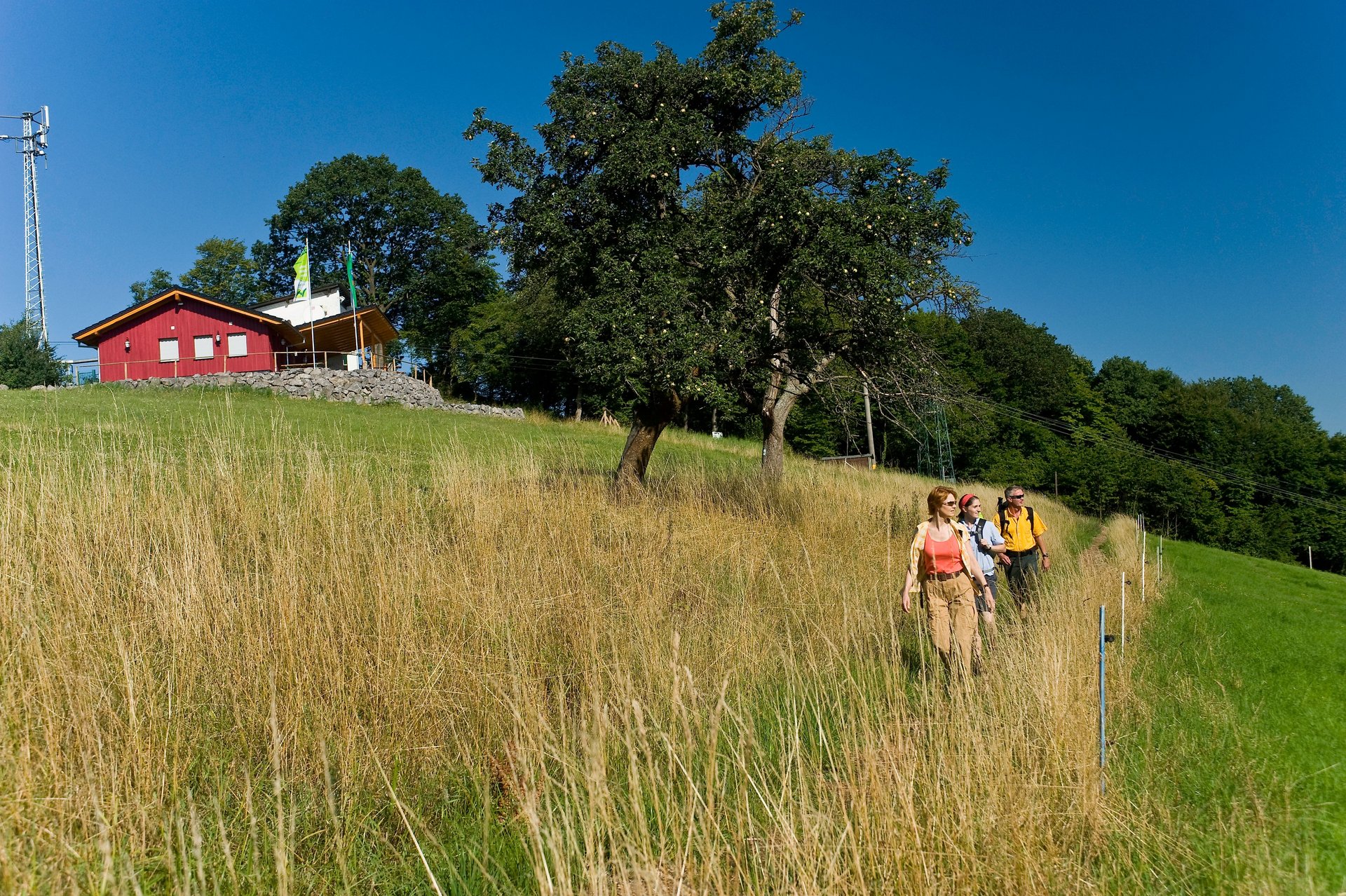
Right after the start of the stage, you walk directly past St. Josefshaus, the mother house of the Franciscan brothers in Hausen. You climb narrow paths up to Malberg, where a year-round open ski hut invites you to linger with a wonderful view of the Wied valley. Soon the trail meets the first Limes tower and offers a view over the Rhine valley into the Eifel. The WesterwaldSteig meets the Rheinsteig (320 kilometers from Wiesbaden to Bonn) at Arienheller between Rheinbrohl and Bad Hönningen. Here, a visit to the Limes Experience Center Römerwelt is recommended. The Limes Romanus, a 550-kilometer-long border wall between the Rhine and Danube, began in Rheinbrohl. The Upper Germanic-Rhaetian Limes has been a UNESCO World Heritage Site since 2005 and is an outstanding archaeological monument. The Roman historian Tacitus called the beginning of the Limes Romanus "Caput Limitis" – head of the Limes. The Roman culture of the south still seems to be present in the Rhine valley today. Here grow vineyards, peaches, and fig trees. Once again, proof that the Rhine valley is one of the mildest regions in Germany.
Access paths (marking: green W on yellow background):
- from the western outskirts (road to Over) to the public transport stop and parking lot Waldbreitbach (approx. 0.6 km) and to the monastery path (approx. 0.9 km)
- from the Wiedufer on the southern outskirts of Waldbreitbach to the Kreuzkapelle (approx. 0.2 km)
- from the Römer Welt near Bad Hönningen to the Bad Hönningen train station (approx. 1.7 km)
Safety instructions
If you think certain sections of the trail are not passable for you, then you should bypass them. Especially in adverse weather conditions, natural trails can have muddy and slippery sections.
Particularly in autumn, be aware that leaves lying on the ground can conceal unevenness, roots, stones, or holes in the path. You must expect such trail impairments when hiking.
Although the trail is very well marked throughout, for safety reasons you should always carry a suitable hiking map or download the free app "Rheinland-Pfalz erleben".
Equipment
Wear sturdy footwear as well as weather-appropriate, functional clothing that protects against cold and wet or heat and sun.
Bring sufficient fluids. There are not refreshments available everywhere.
Please wear hiking boots suitable for the trail which also provide enough support on slippery and steep or rocky and uneven paths.
Tips
To round off your WesterwaldSteig hike, visit RömerWelt, featuring an interactive exhibition on life along the Limes!
Additional information
If a marking is missing, a sign is broken, or the path is overgrown? Then please let us know – this helps keep the hiking trails in good condition. Contact trail management: wm@westerwaldsteig.de.
You can get hiking maps and books in the Westerwald-Shop
Touristik-Verband Wiedtal in Waldbreitbach:
Tel. +49 2638/4017
wiedtal.de/en
Tourist-Information Bad Hönningen:
Tel. +49 2635/2273
bad-hoenningen.de
Naturpark Rhein-Westerwald:
Tel. +49 2631/9566036
naturpark-rhein-westerwald.de
www.facebook.com/westerwaldsteig
VIDEOS:
YouTube video of stage 16 by Wandereisvogel (hiking with children)
Literature
Leporello hiking map WesterwaldSteig at a scale of 1:25,000
Order at www.westerwald-shop.info.
Destination
Bad Hönningen/Rheinbrohl, RömerWelt
Starting Point
Waldbreitbach, center
More information & GPX download
Notice
In the tour planner we inform you under the tab "Current info" about temporary route changes, closures and detours.
To the Tour Planer