
Wanderung
WesterwaldSteig 14th stage Horhausen - Strauscheid (East-West)
Route profile
Notice
In the tour planner we inform you under the tab "Current info" about temporary route changes, closures and detours.
To the Tour Planer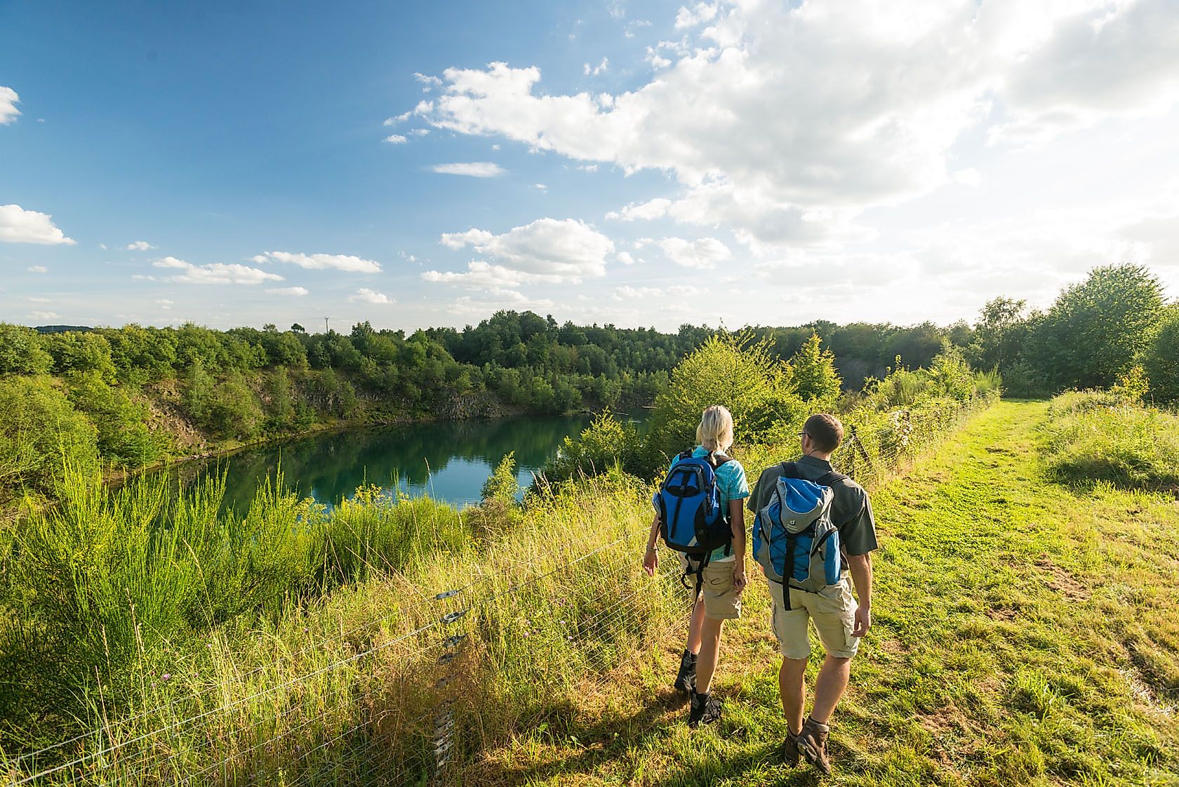
Description
WHERE MINE LAMPS ONCE SHONE, TREASURES ARE HIDDEN, AND MONASTIC SILENCE INVITES YOU TO ENTRANCE
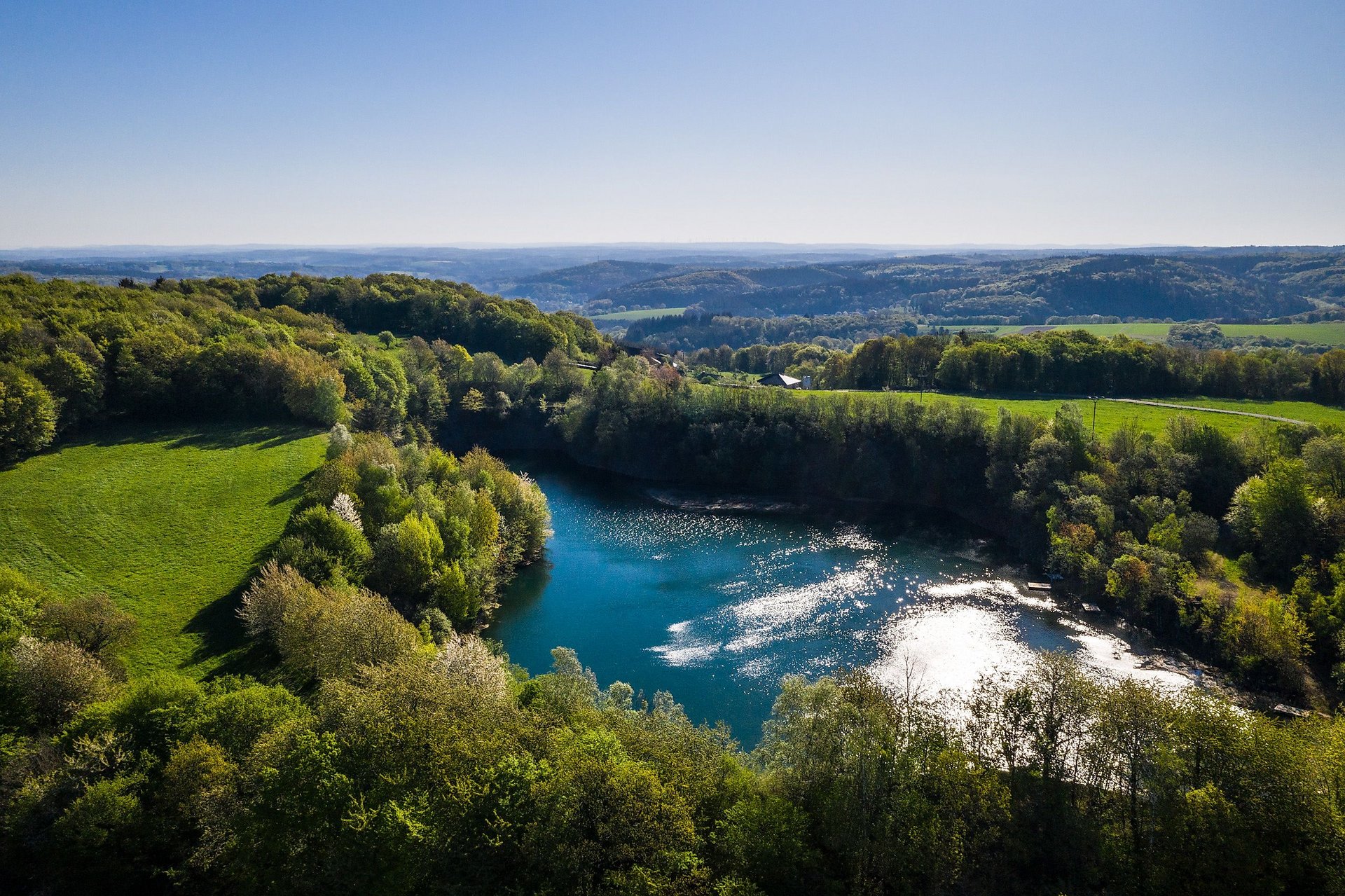
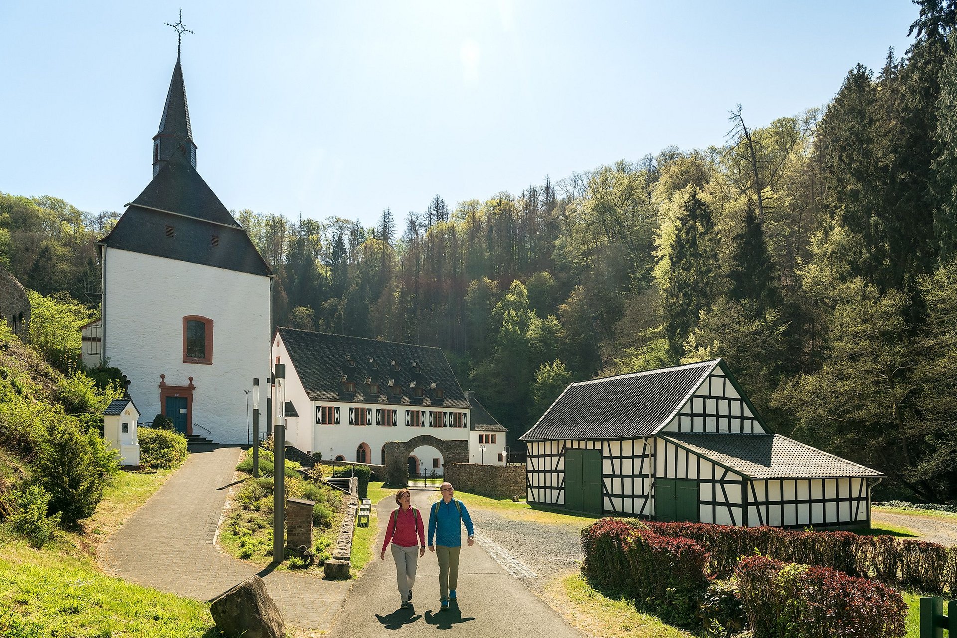
Good luck! to the hiker. You repeatedly encounter the long mining tradition – passing former adits and over old miners' paths. On the way into the romantic Wied valley, you learn at the mighty Bildeiche of the sad legend about the miner to whom one night a beautiful young woman appeared, who as a ghost lamented her tragic fate. The miner could have freed her and thereby obtained the key to a hidden treasure, but in the end, his courage left him. The turquoise-blue basalt lake at Manroth still tells of the region's stony rich past today. The volcanic cone Bertenauer Kopf rewards a small detour with special flora and fauna and impressive panoramic views. Another branch leads to the romantically located Ehrenstein Monastery before reaching Strauscheid.
Approach
A3 to exit 36 Neuwied and continue via B256 towards Flammersfeld to Horhausen
Public transport
Access by public transport
Hessische Landesbahn Au-Limburg to Altenkirchen (Ww) stop and further by bus to Horhausen (Westerw) Kardinal-Höffner-Platz: Bus line 120 (daily, approx. 30 minutes travel time)
Return to the stage start
Return trip from Strauscheid to Horhausen: with the Bus line 141 initially to Neustadt (Wied) (Monday to Friday, approx. 10 minutes travel time).
Note: This is a call-line service (please register up to 60 minutes before departure)!
Change to Bus line 125 in Neustadt (Wied) (daily, approx. 35 minutes travel time)
Strauscheid bus stop: Strauscheid Cemetery (the start of the WesterwaldSteig is a short distance further towards the town exit)
Neustadt (Wied) bus stop: Neustadt (Wied) Margarita-Platz (from the main route of the hiking trail near K78 at Jungfernhof, a side path about 1.9 km long leads to the bus stop).
Recommendation: Hike the stage from Horhausen to Neustadt (Wied) due to better bus connections (approx. 14 km).
Horhausen bus stop: Horhausen (Westerw) Kardinal-Höffner-Platz
Alternatively, return by taxi is recommended.
Taxi recommendations:
Taxi Rüth, Horhausen, Tel. +49 2687/2267
Taxi Neustadt, Neustadt/Wied, Tel. +49 2683/943873
Here you can find more hiking route tips with bus and train connections.
Parking
Horhausen: town center (on the B256)
Strauscheid: former hotel "Westerwälder Hof" (Kurstraße 10) and at the entrance to the village
Directions
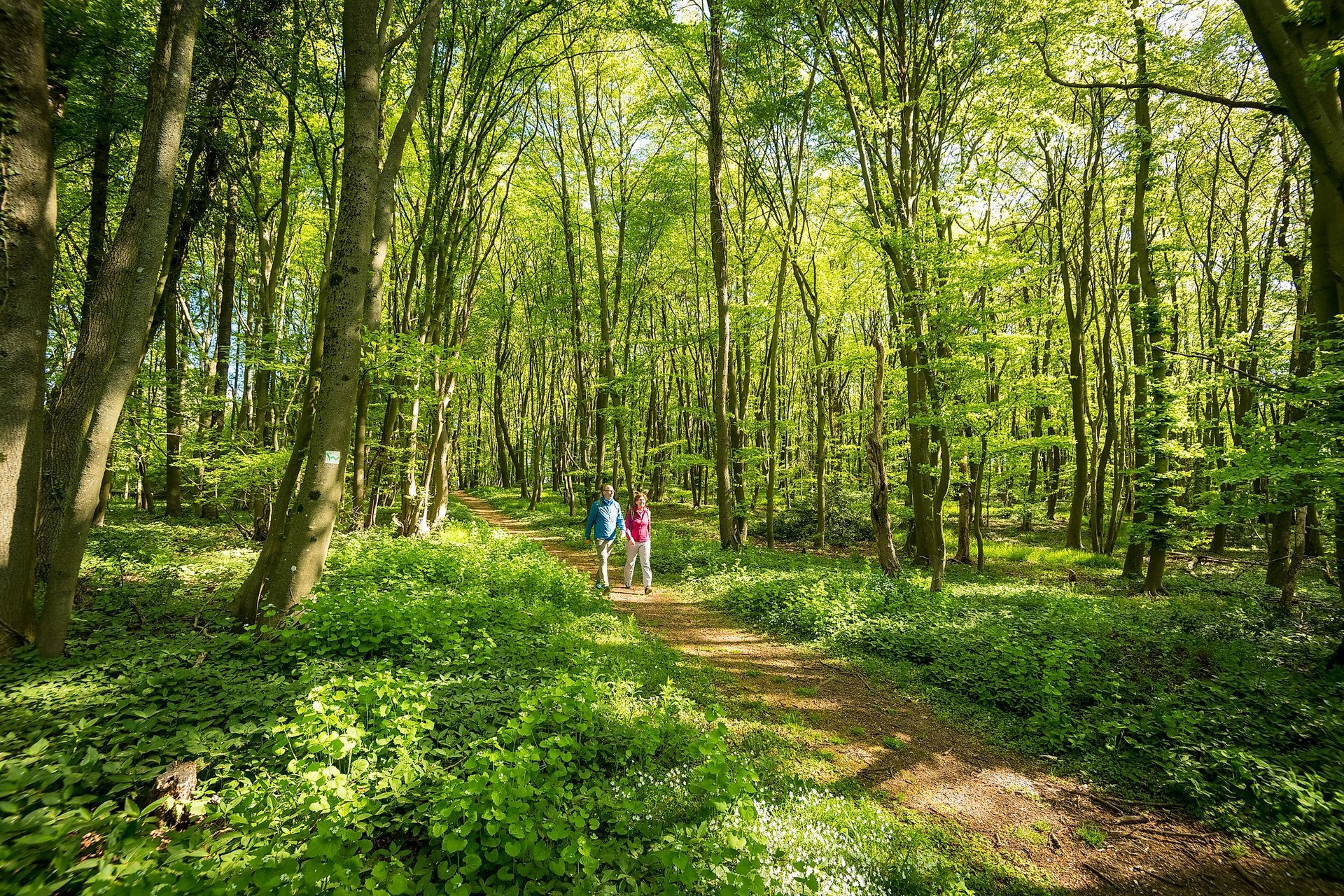
In Horhausen you will still be amazed by the once numerous church youth. Three important clergymen, including a Cologne cardinal and a bishop in Trondheim, have their roots here. But many priests, missionaries, and nuns also came from this town. Perhaps it was due to the perilous mining history of the region that heaven and earth connected here in a special way. From Kirchstraße in Horhausen, you walk past the church and the Cardinal Höffner monument towards the villages of Huf and Luchert. Via Niedersteinebach and the wildlife enclosure at Hotel Heiderhof, the path leads through Stangenwald to the "Bildeiche". The trail follows the old miner's path with a view of Burglahr towards Peterslahr. The landscape of the Wied floodplain accompanies the route to Eulenberg. The path ascends in switchbacks to the Bertenauer Kopf. Before that, a 1.4 km long side path leads to Ehrenstein Monastery, whose history traces back to the Knights of the Cross in the 15th century and is definitely worth a detour. Past the basalt lake Manroth, Ammerich, and Neustadt-Kodden, you continue hiking to Strauscheid.
Side paths (Marking: green W on yellow background):
- from Niedersteinbach to Hümmerich (approx. 4.3 km)
- approx. 1 km from Niedersteinebach along the forest edge to Heiderhof (approx. 0.5 km)
- approx. 0.5 km from the Mettelshahn campsite to Ehrenstein Monastery (approx. 1.4 km)
- from the northern forest edge of Bertenau to the Bertenauer Kopf viewpoint (approx. 0.5 km)
- from Manroth Lake to Fernthal (approx. 1.3 km)
- from K78 at Jungfernhof to Neustadt/Wied (town center with bus stop) (approx. 1.9 km)
- from the Langewiese Valley to Kodden (approx. 0.9 km)
Safety instructions
If you think certain sections of the paths are not passable for you, you should avoid them. Especially in adverse weather conditions, natural paths can become muddy and slippery.
In particular, in autumn, it is important to note that leaves on the ground can conceal unevenness, roots, stones, or holes in the path. You must expect such path impairments when hiking.
Although the trail is consistently very well marked, for safety reasons you should always carry a suitable hiking map or download the free app "Experience Rhineland-Palatinate" .
Equipment
Wear sturdy footwear as well as weather-appropriate, functional clothing that protects against cold and wet or heat and sun.
Take enough fluids with you. There are not always places to stop for refreshment.
Please wear hiking shoes appropriate for the path that provide sufficient support even on slippery and steep or rocky and uneven trails.
Tips
Enjoy two great panoramic views over Neustadt (Wied) all the way to the Siebengebirge from the "GeoBlick Bertenauer Kopf" and the "GeoBlick Jungfernhof" (both accessible via a short detour).
Additional information
If a marking sign is missing, a sign is broken, or the path is overgrown, please let us know – this helps keep the hiking trails in good condition. Contact trail management: wm@westerwaldsteig.de.
You can get hiking maps and books at the Westerwald-Shop
Tourist information Asbach:
+49 2683/912431
vg-asbach.de
Tourist information Altenkirchen-Flammersfeld:
+49 2681/85-249
vg-altenkirchen-flammersfeld.de
Naturpark Rhein-Westerwald:
+49 2631/9566036
naturpark-rhein-westerwald.de
www.facebook.com/westerwaldsteig
VIDEOS:
YouTube video of the 14th stage by Wandereisvogel (hiking with children)
Literature
Leporello hiking map WesterwaldSteig at a scale of 1:25,000
Order at www.westerwald-shop.info.
Destination
Strauscheid, Kurstraße (church)
Starting Point
Horhausen, Kirchstraße
More information & GPX download
Notice
In the tour planner we inform you under the tab "Current info" about temporary route changes, closures and detours.
To the Tour Planer