
Bicycle Rides
Westerwald loop: Daaden - Wiesensee
Route profile
Notice
In the tour planner we inform you under the tab "Current info" about temporary route changes, closures and detours.
To the Tour Planer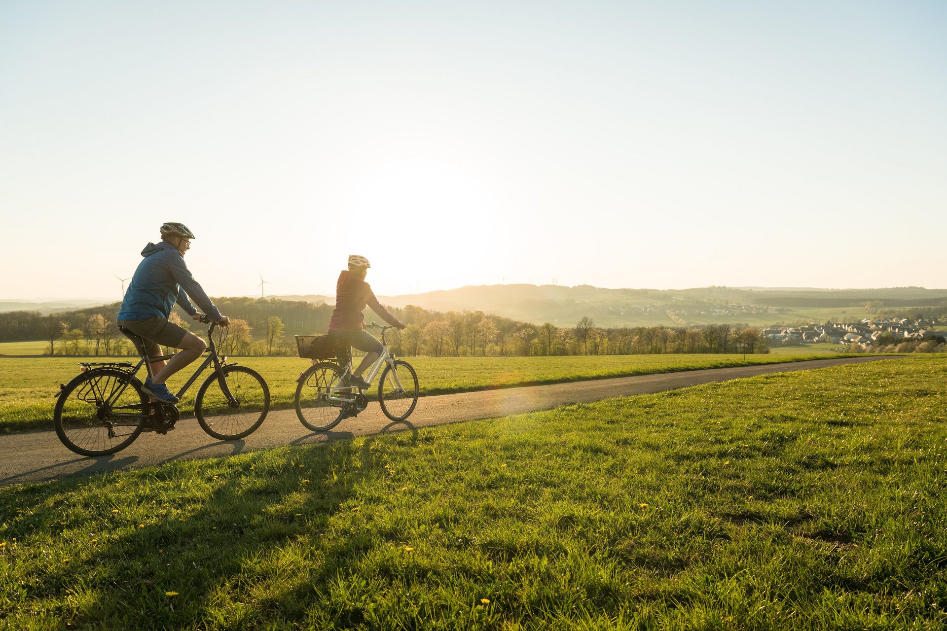
Description
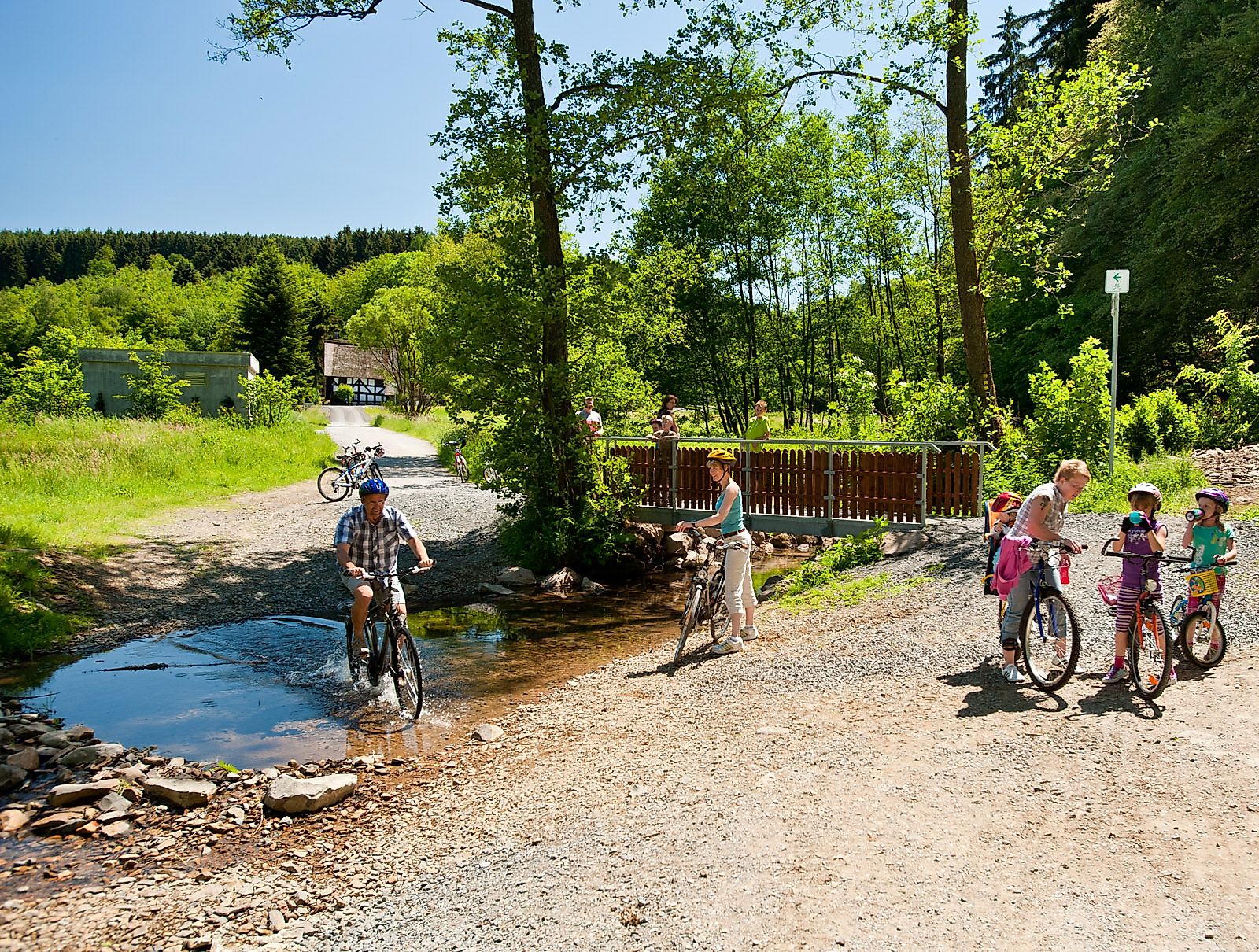
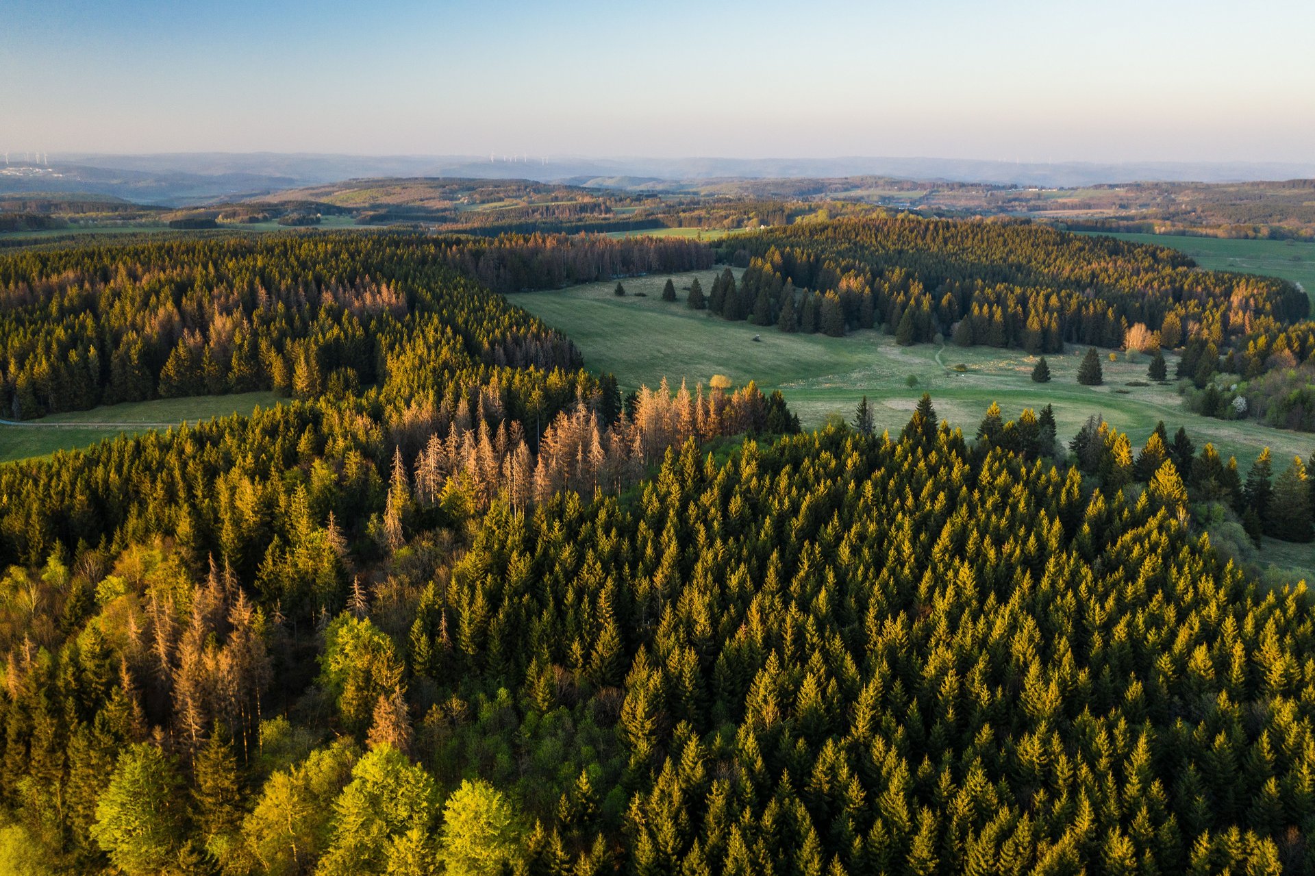
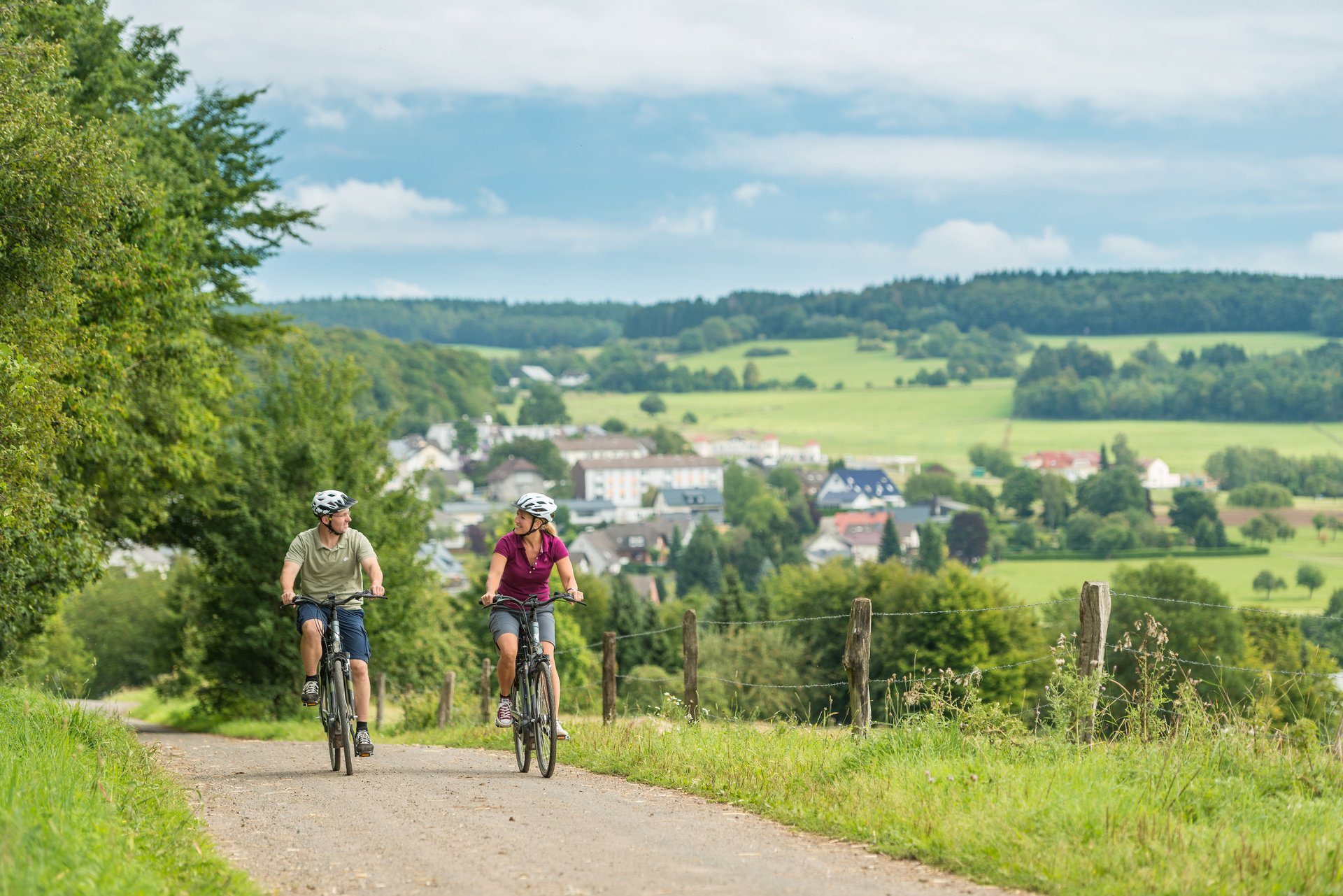
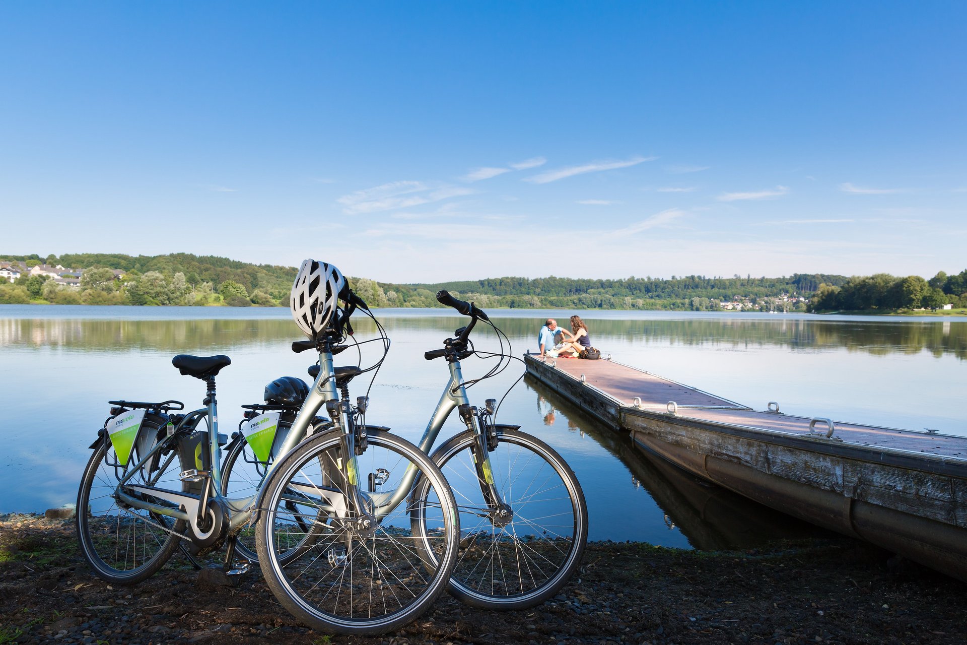
Daaden has an exceptionally beautiful Protestant Baroque church from the 18th century, considered one of the most attractive in the Westerwald. The predecessor building is several hundred years older. A little further in Friedewald, the castle of the same name awaits with a place to stop. The route takes me past a pond at Lautzenbrücken and brings me to Nisterberg. Extensive forest areas ensure pleasant cycling even in warm weather. To get up to the Fuchskaute, an extinct volcano, you have to exert yourself, but for that, a great view entices and the opportunity to rest and enjoy refreshing drinks and food at the Fuchskaute restaurant. On my further way, I make a detour to the monastery pond near Seck and view the local Selingenstatt monastery ruins. There is also a permanent exhibition here. Then I ride past the old spa house and the small and large Secker ponds and finally reach my destination, the Wiesensee near Stahlhofen with its bathing facilities.
Approach
Motorway exits:
- BAB 4 Cologne - Bad Hersfeld: At motorway junction 28-29-Kreuz Olpe-Süd-Wenden use the right lane to follow the signs on the A45 towards Frankfurt a.M.
- BAB 3, Frankfurt - Cologne: Exit B49 towards Limburg-North/Gießen/Limburg
Public transport
By train to the station in Daaden.
Parking
Over 80 parking spaces on the festival grounds in Daaden (ramp, near town hall/station) are available free of charge.
Directions
The route covers about 50 kilometers and winds broadly southward. Forests and fields alternate along the way. I start in Daaden where Mittelstraße merges into Oberste Ströthe street. I pass the outdoor swimming pool and cycle through Derschen to Friedewald. Towards Langenbach, I switch from the Sieg region to the Nister region. After Hof and Salzburg, the route climbs more steeply than before, reaching an elevation of over 600 meters. A small northern detour to Stein-Neukirch follows before I bend southeast again. When I finally reach and climb the Fuchskaute via Bretthausen and Willingen, I am at 648 meters at the highest point of the Westerwald. Now it generally goes downhill. Behind Rehe, the route continues on the old Rennerod-Herborn railway line. For a stretch, I travel alongside the B 54 and thus arrive at Waldmühlen. Now it is only a few kilometers to the Wiesensee.
Safety instructions
Very good fitness required.
Equipment
For bags and backpacks on a bike route, not only the back offers space – the weight of the equipment should ideally be distributed over several body and bike parts. Wind, rain, or sun can cause very different temperature sensations on the bike – a cold can best be avoided with professional cycling clothing. On a multi-day route, you should always have suitable change clothing at hand to be prepared for any eventuality. Besides other important equipment items, necessary tools and repair utensils should not be forgotten. At high speeds, it is easy to take a wrong turn on a bike route: traditional and modern aids such as a bike map or GPS device serve as orientation. You should also always have a small emergency kit with you.
Tips
I do a few laps in the outdoor swimming pool in Daaden, but I am looking forward to swimming in the Wiesensee. So pack your swimwear!
Additional information
Westerwald Tourism Service
Kirchstraße 48a
56410 Montabaur
Tel.: 02602/30010
mail@westerwald.info
www.westerwald.info
Tourist information:
- Tourist Information Daaden-Herdorf
Bahnhofstraße 4
57567 Daaden
Tel.: 02743/9290
touristik@daaden.de
www.daaden.de - Tourist Information Hoher Westerwald
Westernoher Straße 7a
56477 Rennerod
Tel.: 02664/9939093
touristinfo@rennerod.de
www.hoher-westerwald.de - Tourist Information Wäller Land
Winner Ufer 9
56459 Stahlhofen am Wiesensee
Tel.: 02663/291494
info@waellerland.de
www.waellerland.de
Literature
- KOMPASS - Westerwald: Hiking and cycling map, North map, 1:50,000, ISBN: 978-3-00-065928-7
- KOMPASS - Westerwald: Hiking and cycling map, South map, 1:50,000, ISBN: 978-3-00-065929-4
- Combined brochure hiking/cycling
Destination
Wiesensee
Starting Point
Daaden, center
More information & GPX download
Notice
In the tour planner we inform you under the tab "Current info" about temporary route changes, closures and detours.
To the Tour Planer