
Wanderung
Little Wäller Gnome Path 2 - Rengsdorf
Route profile
Notice
In the tour planner we inform you under the tab "Current info" about temporary route changes, closures and detours.
To the Tour Planer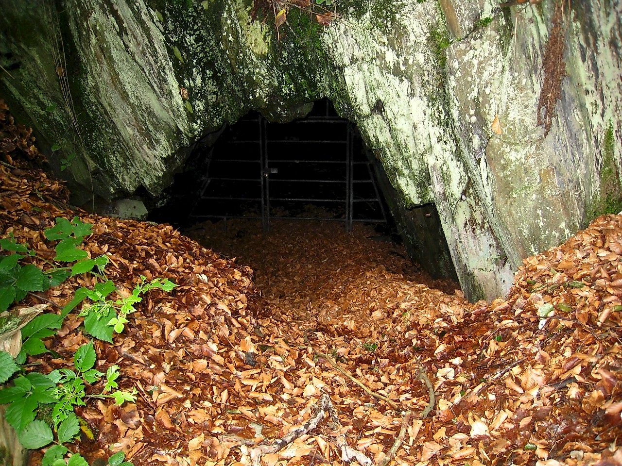

Description
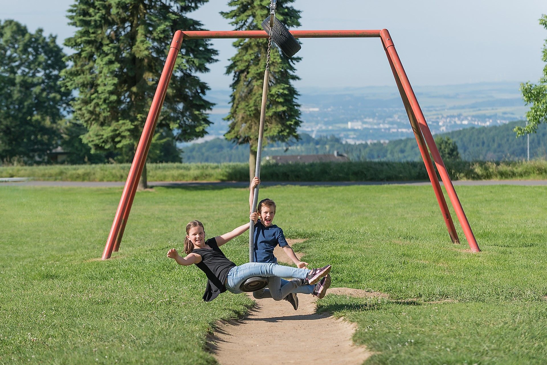
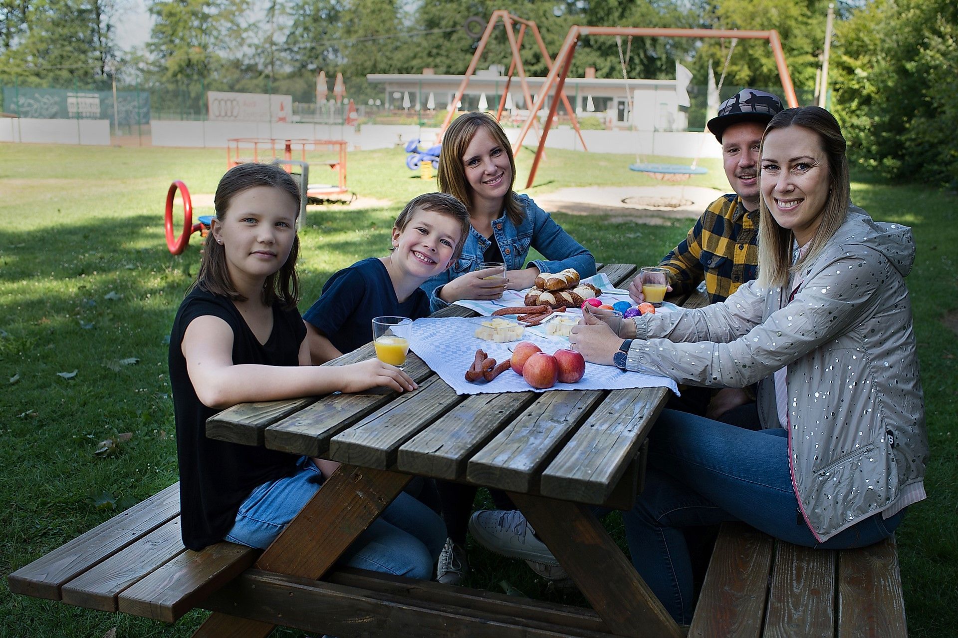
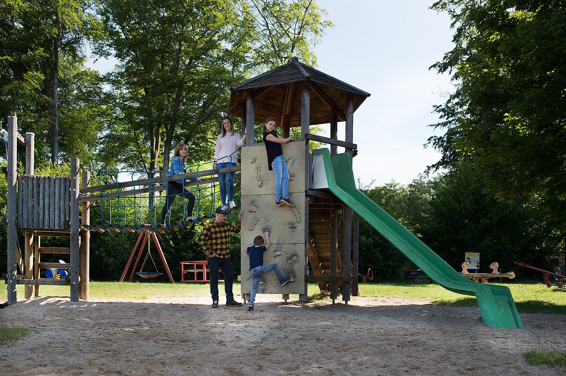
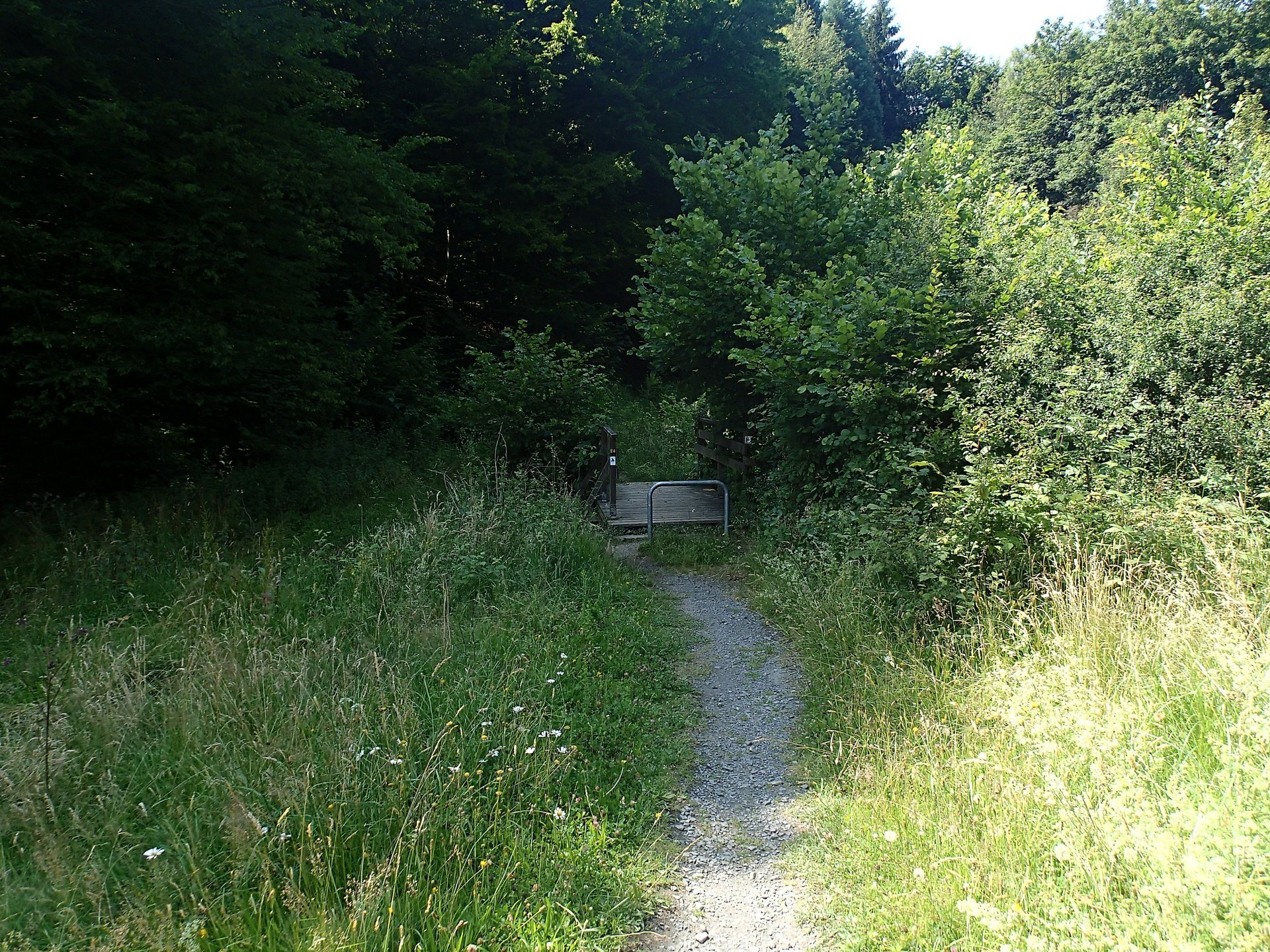
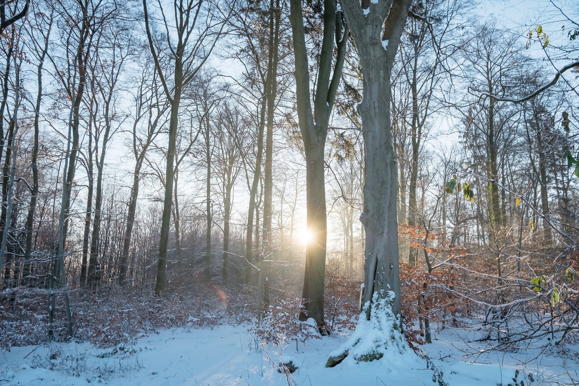
The Little Wäller Gnome Path 2 is called “Bat in the Laubach Valley” and starts at the Waldfestplatz in Rengsdorf near the Roman ditch, where there is also a large playground and the “Clubhouse” restaurant of the Tennis Club Rengsdorf. At the “Clubhouse” you'll find steaks, burgers, or schnitzel as well as salads and cakes. The circular route is marked with a blue gnome hat and, with its 4.5 km and 230 meters of altitude difference, is the most challenging of the three gnome paths. The route mainly consists of forest and field paths. The gnome path is also stroller-friendly.
Gnome Path Rally: Take a quiz sheet at the start (for age groups 5-7 years or 8-10 years) and solve the exciting rally along the way. Those who guess the correct solution word receive a small gift at the tourist information offices in Rengsdorf or Waldbreitbach. The rally is available on the red and blue gnome paths.
Download: Gnome Path Rally Blue 5-7 years
Download: Gnome Path Rally Blue 8-10 years
Want more adventure? In Hümmerich at Landhotel Fernblick is the start and finish of two GPS puzzle routes “Copper” and “Gold” over almost 5 km through forest and meadows, lasting about 2.5 hours. Each route consists of 10 exciting and challenging puzzles. At the destination, you'll find a treasure chest and have to crack a numeric code.
Game requirements are the waypoint maps and GPS devices, which can also be rented at the hotel (please reserve in advance, free of charge, ID must be left).
We look forward to your ratings and comments about this hiking trail on Outdooractive. Thank you very much!
Approach
B256 to Rengsdorf and in town follow the signs to Waldfestplatz Rengsdorf (Bayerstraße)
Public transport
VRM Line 120 between Neuwied and Altenkirchen
VRM Line 160 between Neuwied and Straßenhaus
Parking
Free parking lot at Waldfestplatz in Rengsdorf
Directions
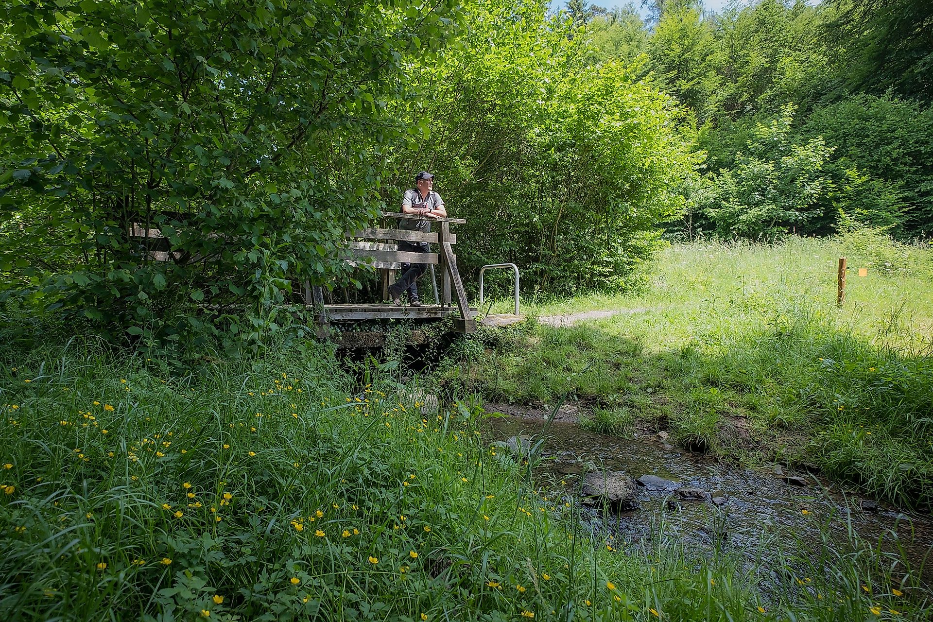
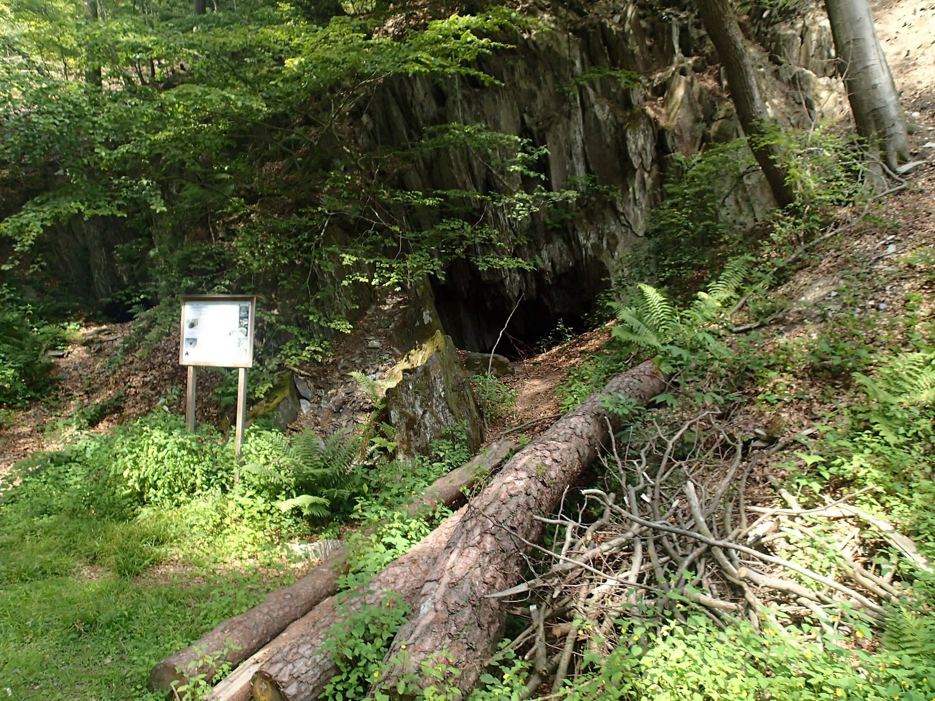
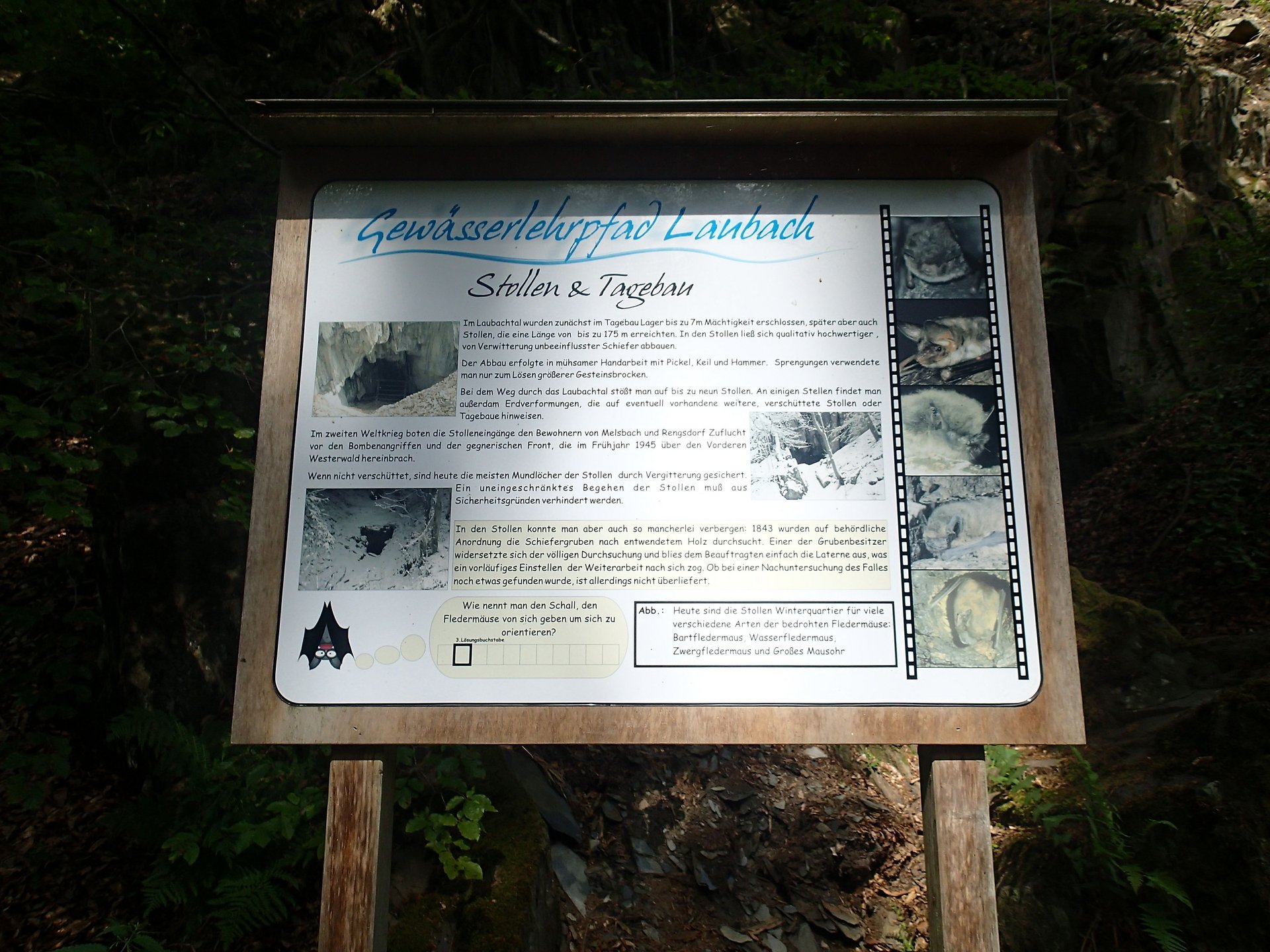
From the Waldfestplatz parking lot we go - always following the blue gnome hat and parallel to the monastery path - towards the barbecue hut (if you want to walk the route in the other direction, leave the monastery path and turn over the B256). Otherwise, we follow (as shown on the map) the monastery and gnome paths further to the upper hiking bridge over the B256. After crossing, we stay left on the hiking trail and follow the route to the Laubachswinkel hut. 100 m further there is the footbridge, here we cross the Laubach. On the other bank we turn left back (here we leave the monastery path) and after about 200 m cross a small bridge again. Further downhill we reach the bat cave. After about 400 m, the path goes slightly uphill again on the opposite side of the stream. 200 m further there is an information board about the “Water Nature Trail”. Shortly before the Laubachswinkel hut we go right towards the parking lot. On the way back we cross the B256 again, pass the tennis hut and the “Clubhouse” restaurant and come to a large playground.
Safety instructions
No special notes
Equipment
no special equipment required
Tips
The gnome paths 1 “Water fun and wildlife park” and 3 “Apple route at the herb garden” also lure us in spring with colorful flower spots on the meadows.
Additional information
Touristik-Verband Wiedtal e.V.
Neuwieder Straße 61
56588 Waldbreitbach
info@wiedtal.de
www.wiedtal.de
Phone 02638 - 4017
Literature
Hiking map of the Rengsdorf-Waldbreitbach collective municipality at a scale of 1:16,000
Destination
Waldfestplatz, Rengsdorf
Starting Point
Waldfestplatz, Rengsdorf
More information & GPX download
Notice
In the tour planner we inform you under the tab "Current info" about temporary route changes, closures and detours.
To the Tour Planer